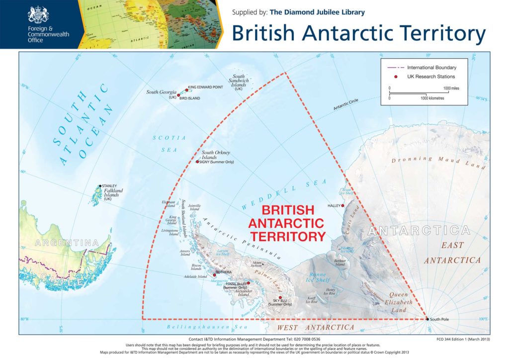
The British Antarctic Territory (BAT) forms the largest and most southerly of the UK’s 14 Overseas Territories.

It is a wedge-shaped sector of the Antarctic continent.
It runs:
- from 60°S to the South Pole
- between the longitudes of 20°W and 80°W
Over 99% of it is covered in a permanent ice sheet.
For further geographical information, the Antarctic Peninsula Information Portal is a website that provides a one-stop shop. This interactive website shows popular tourist sites, protected areas, National bases and a range of other useful information on a searchable map of the Territory.
History of the Territory
BAT was formed on 3 March 1962. Before then, it was a Dependency of the Falkland Islands.
The Territory continued to be administered from the Falkland Islands until 1989. Responsibility then passed to the newly created role of Commissioner of the British Antarctic Territory.
- Find out more about our history
Flag and crest
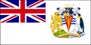
The territory has its own flag and crest.
Life in the Territory
There is no permanent population in the Territory. The UK has a presence in the Territory mainly provided by:
- the British Antarctic Survey, who operate 3 scientific stations and an ice-strengthened Royal Research Ship
- the UK Antarctic Heritage Trust who manage the historical base at Port Lockroy
- the Royal Navy’s ice patrol ship, HMS Protector
Find out more about the UK’s activity in the Territory.
UK’s claim to the Territory
The UK’s claim to this part of Antarctica is the oldest of any made on the continent.
Most of the area of the British Antarctic Territory is subject to competing claims from Argentina and Chile.
However, under Article IV of the Antarctic Treaty 1959, all territorial sovereignty claims to Antarctica are held in abeyance.
- Find out more about the Antarctic Treaty
Managing the Territory
Staff in the Polar Regions Department of the UK’s Foreign, Commonwealth and Development Office manage the BAT. The team includes the Commissioner, Deputy Commissioner and Administrator.
- Find out more about who we are

