As part of a regular series on the meaning of place names in the Territory, this latest edition focuses on Furse Peninsula.
Where?
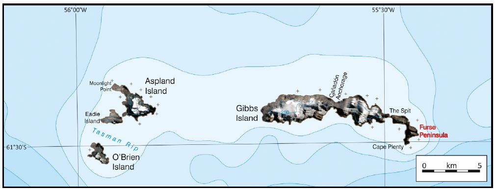
Furse Peninsula (61°28’59”S, 55°27’58”W) is connected to the rest of Gibbs Island (South Shetland Islands) by The Spit, a 2m high beach sometimes awash in heavy seas.
Meaning
It is named after Commander John Richard (‘Chris’) Furse, RN, OBE (born 1935) who died on 30th October 2018.
Chris Furse was a pioneer of Antarctic mountaineering and lightweight travel, including the use of kayaks. He was a member of the Joint Services Expedition to Elephant Island (1970/71) which made the first ascent of Mount Irving (c. 1,950m) on Clarence Island. Later, he was Leader of Joint Services Expeditions to the rarely-visited Elephant Island Group (1976/77) which used kayaks for travel between islands, and Brabant Island (1984/85), which overwintered on the island and achieved the first ascent of Mount Parry (2,520m).
Furse published two books documenting the Elephant Island Group and Brabant Island expeditions, and in later life became an accomplished artist, specialising in polar and mountain birds
Credit
With thanks to the British Antarctic Survey for the image and text.